

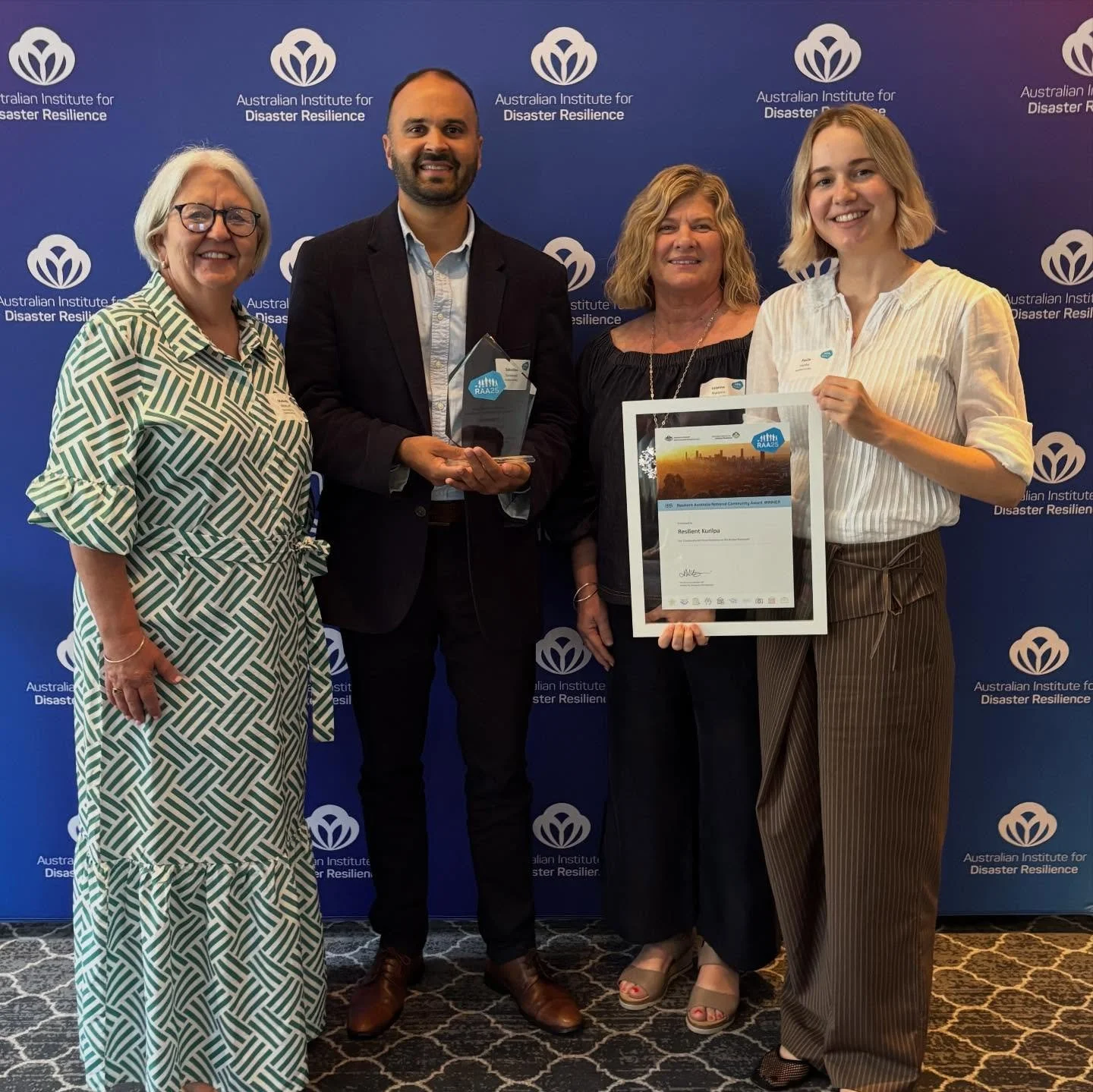
Community-led resilience on the Kurilpa floodplain.
Our network shares local knowledge and resources for people to plan for future floods.
Are you living in the flood zone?
Use the Brisbane City Council Flood Awareness Map to understand the risk of flooding in your area. Speak to your neighbours about the historic impacts of floods in your street or building, and find out which intersections will flood using our Kurilpa Flooded Intersections Map.
Prepare your apartment community for floods.
The vast majority of residents in Kurilpa now dwell in apartments. Watch our short film to learn why community-led flood planning for apartments is so important!
Apartment Toolkit
Draw on our community’s flood planning tools, guides and templates developed and informed by the lived experiences of local body corporates, residents and engineers.


... the building was deemed uninhabitable for 3 plus months...
These residents drove in loops, trying to find a way to escape with their families and belongings...
... she was stuck in the apartment without power for a few days, unable to leave...
We have to rely on each other...
... the building was deemed uninhabitable for 3 plus months... These residents drove in loops, trying to find a way to escape with their families and belongings... ... she was stuck in the apartment without power for a few days, unable to leave... We have to rely on each other...

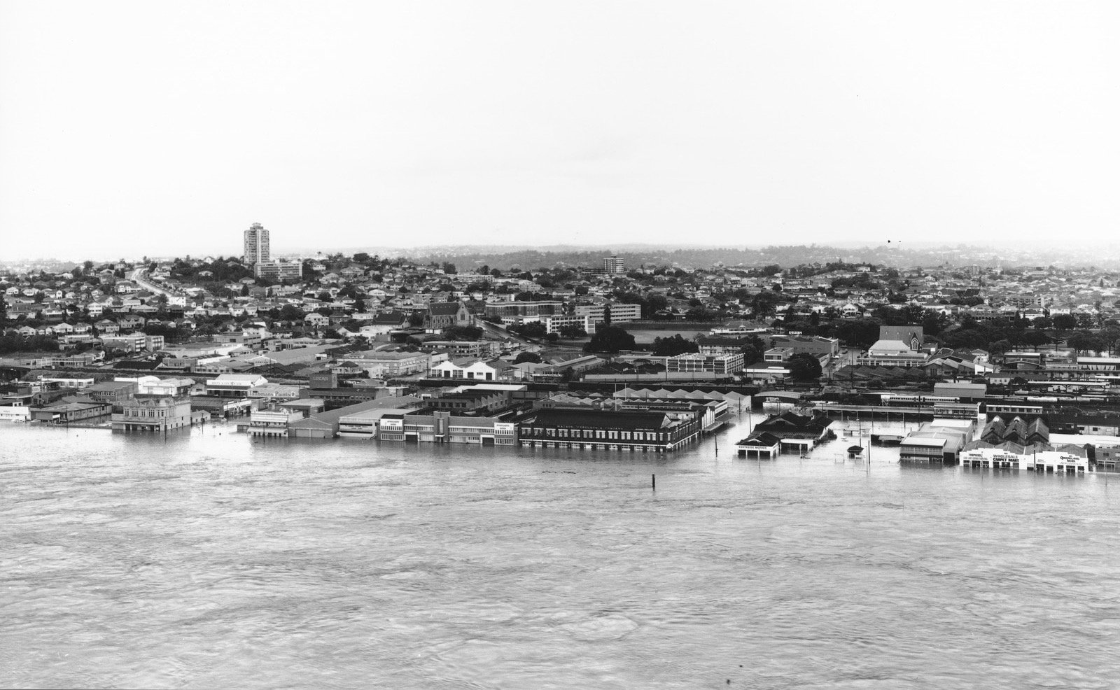
Image: Looking towards Victoria Bridge and the city from Melbourne Street, South Brisbane, 1974. QSA PR1872464.
Kurilpa Flood Library
Browse local stories and studies from past Brisbane floods, to learn more about the realities of floods in Kurilpa.


Connect with us
Resilient Kurilpa is a voluntary network run by local residents and grassroots community organisations.
To stay up to date, follow us on social media and sign up to get notified about our information sessions, related events, news and updates.
“We need to learn to live with the river. As a society we have reached a tipping point. Future floods are inevitable. While the timing, temporal and spatial characteristics are unknown, its arrival is certain. With a warming climate, most scientists predict that future floods will be greater...”